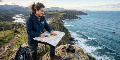
Japan is not the first country most British hill walkers think of, which is odd when you look at the terrain. The country is roughly three quarters mountain, it has a serious alpine range with peaks above 3,000 metres, and it maintains a network of staffed mountain huts that would look familiar to anyone who has walked in the Alps. It also has two of the best long-distance pilgrim routes in the world.
What catches people out is not the walking. It is the logistics. Trailheads are reached by bus timetables that change seasonally, hut bookings are increasingly made online and in Japanese, and the weather windows in the Japanese Alps are narrow and taken very seriously. All of that is manageable, and almost all of it assumes you have a working phone.
What the walking is actually like
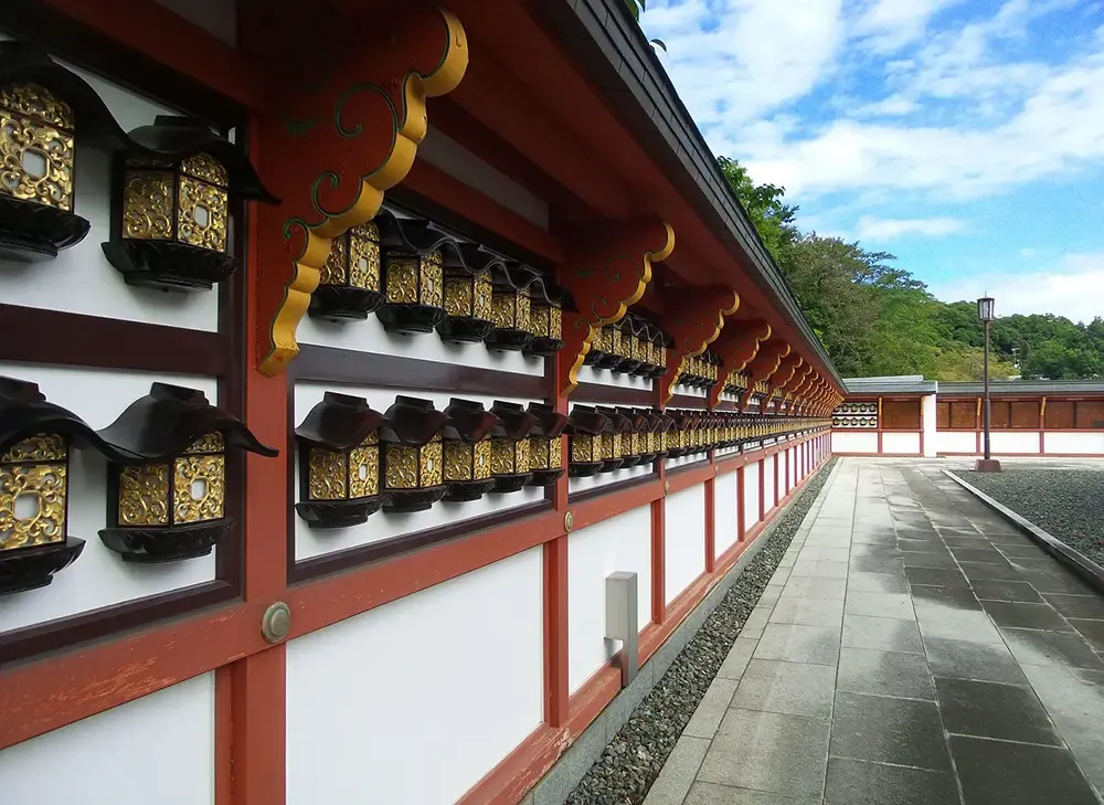
The Kita Alps around Kamikochi are the obvious draw, with hut-to-hut routes that run for days at altitude and involve genuine scrambling on the ridges. The Kumano Kodo in the Kii peninsula is the opposite in character: forested, historic, walked between villages and guesthouses rather than huts, and comfortably done in a week.
Waymarking is generally excellent and the paths are well maintained. Signage is often in Japanese with some English on the main routes and none at all on the smaller ones. The huts are not bothies. They are staffed, they serve meals, they expect a booking, and on popular weekends they fill.
The hazards are different from home. Japan gets serious summer thunderstorms in the afternoons, the typhoon season runs through late summer and autumn, and volcanic activity closes routes with very little notice. Bears are a genuine consideration in Honshu and Hokkaido, which is why every walker you pass will have a bell on their pack.

Why a connection matters more here than in Snowdonia
None of this means walking with a phone in hand. The map and compass still come first, and the battery is still for emergencies. But the planning layer is heavier than most UK walkers are used to.
Mountain weather forecasts, hut availability, bus times out of a valley, route closures after a storm, translation for a sign you cannot read, and a message to say you are down safely. That is six things, and all of them happen in a village or a hut rather than on a ridge.
The bus timetables deserve their own mention. Getting into Kamikochi or out of a Kumano Kodo trailhead often depends on one or two services a day, and missing the last one is a long evening.
Sorting your data before you fly
Japan has good public WiFi in stations and convenience stores, and almost none of it in the mountains. It also often requires a registration step that is far easier to complete when you already have working data than as a fallback when you do not.
The three practical options are roaming with your UK network, buying a Japanese prepaid SIM on arrival, or installing a travel eSIM before you leave. Roaming is simplest and usually the most expensive across a two week trip. A local SIM is cheap and gives you a Japanese number, which is genuinely useful for phoning a hut, but it means removing your own SIM and carrying it somewhere safe.
A travel eSIM is a carrier profile downloaded onto the phone as software before you travel. It installs at home, activates by itself when the phone finds a network after landing, and sits alongside your home profile so your own number stays reachable for texts and calls. Providers selling Japan travel eSIM plans generally run on au, NTT docomo or Rakuten Mobile, which is the detail worth checking, since those are the networks that give you coverage outside the cities. Plans run from a few gigabytes for a short trip up to unlimited options, and the profile can be installed up to 90 days before departure.
Two caveats. Most travel eSIMs are data only, so there is no Japanese number attached and you cannot telephone a hut that does not answer email. And the handset must not be network locked, which is worth checking at home rather than at Narita.
Coverage in the hills is still coverage in the hills
An eSIM buys you local data. It does not improve local infrastructure. Coverage across Japan is better than most visitors expect, including on rural valley roads and in many hut locations, and it still disappears in deep valleys and on the far side of ridges exactly as it does at home.
So the habits do not change. Download your maps offline before you set off, not just for the route but for the surrounding area. Save the GPX rather than streaming it. Screenshot the hut booking, the bus times and the emergency numbers, because a screenshot needs no signal. Then put the phone in flight mode so it stops hunting for a tower, keep it warm, and carry a power bank.
Japan's emergency number for police is 110 and for fire and ambulance 119. Mountain rescue in Japan can be charged to the person rescued, sometimes substantially, which makes travel insurance that explicitly covers mountaineering and hiking at altitude a more important piece of kit than usual.
A few practical notes
Get an IC card, whether Suica, Pasmo or ICOCA, and add it to your phone if your handset supports it. Local transport is far less friction with one.
Book huts early for the Kita Alps in the summer season, and expect to pay cash in a good many rural places despite Japan's reputation for technology.
Carry a bear bell, follow the local advice on it, and do not treat it as a novelty.
And check the Japan Meteorological Agency forecasts rather than a general weather app, particularly through typhoon season, because the difference between the two is often the difference between a good week and a very wet one.
Worth the trip
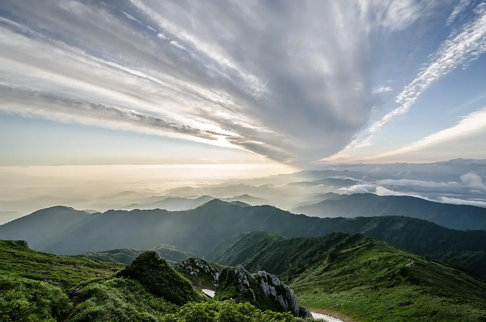
For a British walker used to the Lakes, the Highlands and the occasional week in the Alps, Japan offers something genuinely different: high, serious mountains with an unfamiliar culture of walking attached, and a pilgrim route through forest and villages that has been walked for a thousand years.
Sort the data before you fly, download what you need, and the phone goes back to being what it should be: useful in the valley, and a well-charged backup on the hill.