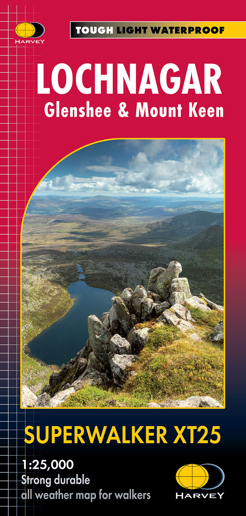
This detailed map is tailor-made for hillwalkers exploring the breathtaking terrain south of Braemar, presenting a comprehensive view of the region at the popular scale of 1:25,000. Key revisions to the existing map include:
- Extended coverage further North West in order to include Braemar
- Scotland’s most easterly Munro, Mount Keen, has been included as an inset
- Seamlessly joins onto the Cairngorm map, providing extensive coverage of Lochnagar and the stunning Cairngorms.
Additional features:
- Extensive Coverage: The map covers the superb walking area south of Braemar, featuring prominent landmarks such as Lochnagar, Braemar, and the Spittal of Glenshee. The eastern region includes the Spittal of Glenmuick and the picturesque Loch Muick.
- Detailed Inset: An inset showcases Scotland's most easterly Munro, Mount Keen, offering enthusiasts an in-depth guide to this iconic peak.
- Munros, Corbetts, and Graham: The map includes 22 Munros, 5 Corbetts, and 1 Graham, providing an essential resource for those seeking to conquer these majestic summits.
- User-Friendly Design: The Lochnagar Superwalker Map is tough, light, durable, and 100% waterproof. It unfolds easily to either side of the sheet and is simple to re-fold, ensuring a hassle-free experience for users.
- Proven Authenticity: Genuine and original, this map reflects HARVEY Maps' commitment to providing accurate and reliable mapping solutions for outdoor enthusiasts. Size & weight: Folded size: 116 x 243mm. Weight: 60gms