For any guide book the selection of routes is vital and Walking-Books.com have got the mix just right with this pack. Walks range from under 5km through to almost 14km and heigh gain progresses from a mere 68m to the 938m climb up Skiddaw for route 25. Rather than put the routes together in geographical groups the Lakeland Pack 2 starts off with easy walks and guides you progressively up the scale of difficulty with each route card directing you to the next challenge in the list. Written by Jim Rubery and Michael Law the routes are described in a sequence of numbered legs with each leg consisting of both walking instructions and background information and points of interest along the way. Route instructions are written in black whilst the points of interest and background is in a light blue to save confusion and make it easier to follow the directions in isolation. The reverse side, as mentioned previously, is mainly given over to the map which shows the route clearly with the leg numbers highlighted throughout. Below the map you get a route profile with height gain information and a pointer to the next walk in the pack.
Picking a target audience is always one of the hardest parts of planning a guide book but that's where we think Walking-books.com have got it spot on with their walking packs. For the experienced hill walker with years of experience behind them an OS map and the knowledge in their heads is enough to get you out on the hill but when you're starting out it can be both confusing and expensive knowing where to start. The Lakeland Pack 2 solves that problem by providing the essentials for each route in a hill-friendly form and complete with protective cover and, importantly, including a useful if basic guide on the importance of weather, clothing, safety, navigation and the Country Code. The progression from a lakeside wander around Buttermere to Skiddaw via Ullock Pike is gentle enough to encourage those new to the fells while there's still enough variation at each level to be able to skip from one route to another based on where in the Lakes you are.
There are a couple of minor niggles with the Lakeland Pack 2, but they are only minor: It would be good to have a grid reference for the start/finish point on every route in the left hand colum - even where it's starting from an obvious location like a car park or visitor centre and in a couple of cases the maps could do with being a bit bigger with routes sometimes almost reaching the card edge. Unless you've got a full OS map as backup, which is always recommended anyway, straying off route by just a few metres could take you off the edge of the map - aposition that can be particularly alarming and confusing if you're just starting out.
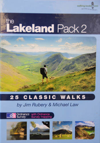
Overall, however, we like both the Lakeland Pack 2 and whether you're you're just starting out or you don't want to carry a full guide book all day the option to carry a single, weather protected, route map and description written in a clear and concise way is a bonus. At £14.95 it's not the cheapest guide you can get but if you factor in the specially sized protective map case and the waterproof/tear resistant properties of the route cards you definitely get your moneys worth over time. As a bonus you also get a nice little flyer advertising one of our favourite photographers, Stewart Smith, who supplied the cover picture of Mosedale.
Note: This article was restored from the archives. It's published creation date is inaccurate.